Virtual Colorado Tour – Part II: South to Black Canyon of the Gunnison
Continuing with our travels in Colorado last September
After leaving Grand Junction we drove south on 50 toward Montrose on our way to Ouray, but decided to take a detour to the Black Canyon of the Gunnison.
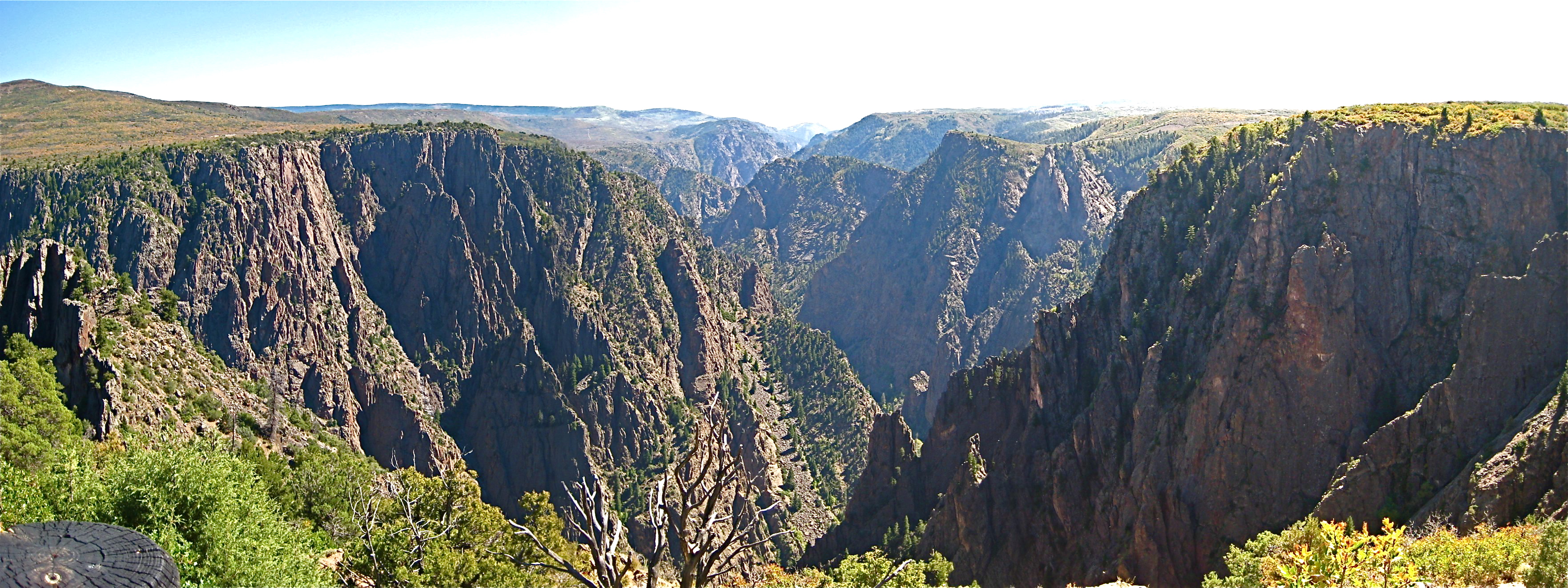
The Canyon out to be one of the most dramatic sights on the whole trip. The Black Canyon is a massive gorge cut through PreCambrian rocks by the Gunnison River. It is vast enough so the far side is slightly hazy, contributing to the astonishing sense of depth from the edge.

Take a virtual world tour down the Canyon in Google Earth! Download this KML file
Double click to open in Google Earth, then click Play as shown: 
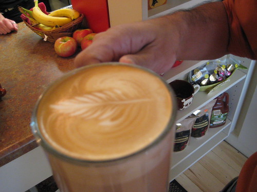 |
We stopped at Jovis Coffee on our way through Montrose. They gave us a cup of coffee art that was almost too pretty to drink. |
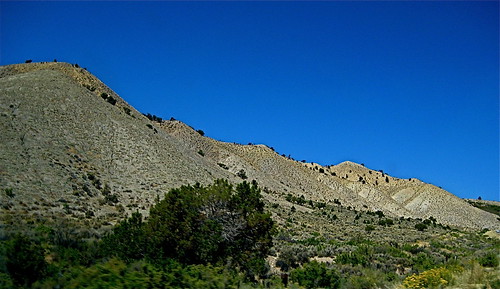 |
Route 347 crosses rolling hills, scrub vegetation and rustic looking ranches. |
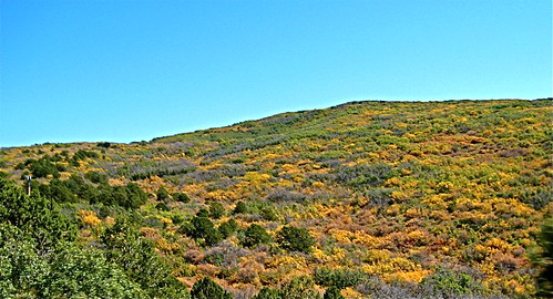 |
Fall color on the hills on the way to the Canyon |
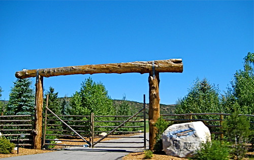 |
Ranch entrance |
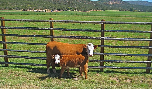 |
Free range cows just outside a pasture |
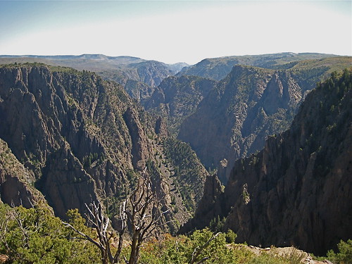 |
First view of the Canyon |
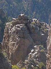 |
Crow atop a rocky cliff overlooking the canyon |
 /td> /td> |
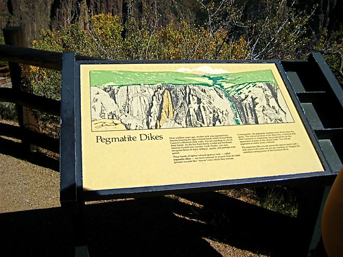
Pegmatite Dikes are visible throughout the gorge, consisting of quartz, feldspar and mica |
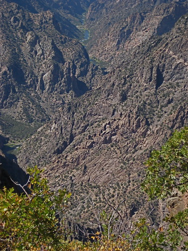 |
View down the river |
The Geologic Story (national park service)